When it comes to keeping tabs on our planet, aerial surveying is a game-changer. Packing the latest tech, this approach revolutionizes how we perceive and care for our natural landscapes. This is where helicopters shine! With their exceptional flying abilities, they take center stage in managing and monitoring our environment.
Aerial Surveying: A Bird’s Eye View for Environmental Insight
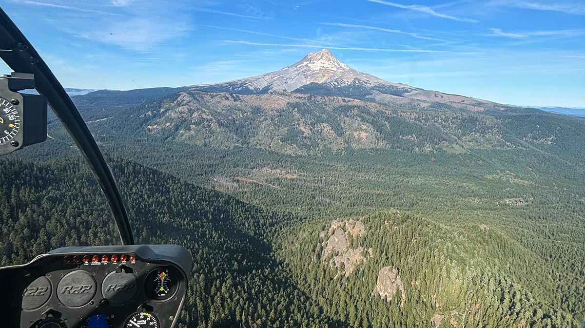
The versatility of helicopters in aerial surveying cannot be overstated. Their ability to hover, perform low-speed maneuvers, and access remote areas makes them ideal for extensive environmental assessments. When it comes to mapping changes in ecosystems, helicopters provide an unprecedented platform for specialists to observe, record, and analyze data from above.
Conducting aerial surveys with helicopters allows for the comprehensive tracking of wildlife populations, vegetation assessments, and the monitoring of ecological changes such as deforestation and wetland fluctuations. These surveys are essential in managing natural resources.
The precision of helicopters in aerial surveying is not just limited to ecological observations.
They are also critical in land use planning and management. From the sky, surveyors can gather detailed information about soil types, water sources, and land topography. This is invaluable to agricultural planning, urban development, and infrastructure projects. This data informs decisions on the ground, ensuring that natural and human systems can coexist sustainably.
The Impact of Helicopter Pilots on Conservation and Land Management
Piloting a helicopter for aerial surveying missions requires more than just the ability to fly. These aviators are at the forefront of data collection efforts that directly impact environmental policy and land management practices. Their skills in maneuvering aircraft enable them to position cameras, sensors, and other equipment precisely, facilitating high-quality data acquisition.
Through the meticulous work of aerial surveyors, we obtain irreplaceable insights into land degradation, habitat destruction, and illegal activities like poaching or logging. Helicopters used in these surveys often come equipped with technologies that are highly advanced, such as LiDAR (Light Detection and Ranging), high-resolution photography, and thermal imaging, enabling pilots and survey teams to capture clear, accurate representations of the environment.
Training for the Future: Elevating Skills in Aerial Surveying
As aerial surveying becomes more integrated into environmental and land management efforts, the demand for skilled pilots with specialized training in this field continues to grow. LEFA commits to preparing students for the intricate work that aerial surveying entails.
Our training programs concentrate not just on the fundamentals of helicopter piloting but also on the specific skills needed for survey missions. We emphasize precision flying, navigation, and safety. Our graduates are not simply pilots; they are custodians of the environment, equipped to take on the challenges of modern-day land management.
Make Your Difference
For those looking to make a difference while soaring high above the earth, Leading Edge Flight Academy offers the training you need to excel. By becoming skilled in the art and science of helicopter aerial surveying, you’ll join an elite group of professionals dedicated to understanding and managing the natural world. This world depends on our collective vigilance and care.
Explore what it means to be part of this dynamic field. Embark on your journey of precision, skill, and unwavering commitment to the environment with LEFA as your guide.